– Katie Thomas PhD Student
When you’ve just got married and driven hundreds of kilometres down the wild West Coast of the South Island, you’d think it’s quite hard to top such experiences. I won’t say it was better than my wedding day… but flying over the endless fiords as the sun breaks over the horizon to land in some of the most untouched places in NZ… that’s something pretty darn special!
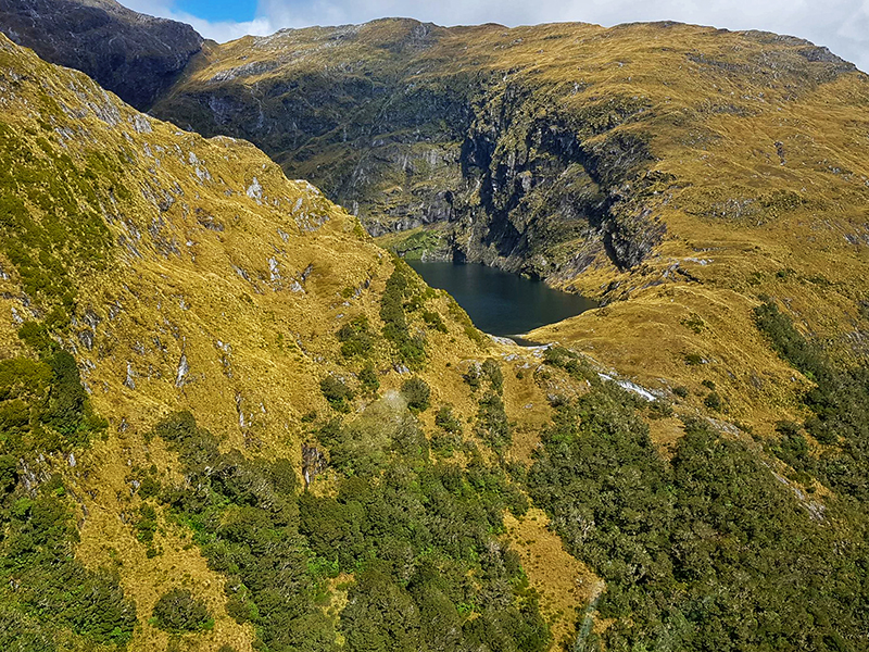
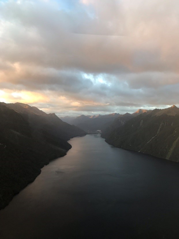
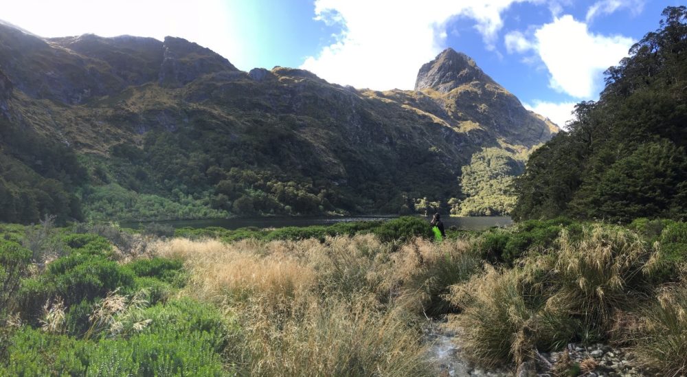
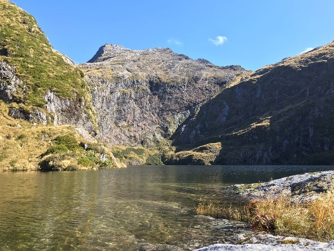
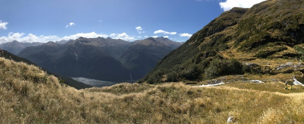
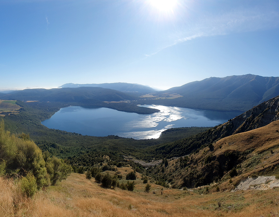
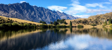
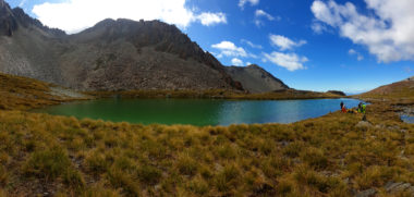
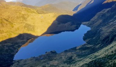
Arriving at the tail end of a monumental field campaign, still riding the hearty highs of our wedding day, I wasn’t convinced I was a welcome sight to the weary field veterans of Te Anau. But there’s nothing like a beautiful deep blue lake with Kea flying overhead to reinvigorate even the most fatigued of field teams. I was lucky enough to join the final helicopter day out to Lakes Lucille and Troup, to the west of Te Anau, near the top of Doubtful Sound. Flying over the Wilmot Pass, we reached the edge of Doubtful Sound, lined with waterfalls washing over the edges of countless river valleys cut short by a long-gone glacier. Getting a bird’s eye view of these dramatic landscapes really helps put into perspective the large-scale process that create them, as well as the much grander geological timescales in which we must consider them. As a biologist, you tend to think about the tens, or sometimes hundreds, of year it takes for organisms to cause change to a landscape. But these rivers have existed for possibly millions of years, to then be gouged out by a giant chunk of ice during a glacial period some 18,000 years ago. This is precisely why we appreciate the knowledge and perspectives that our colleagues at GNS, Victoria and Otago Universities bring to Lakes380.
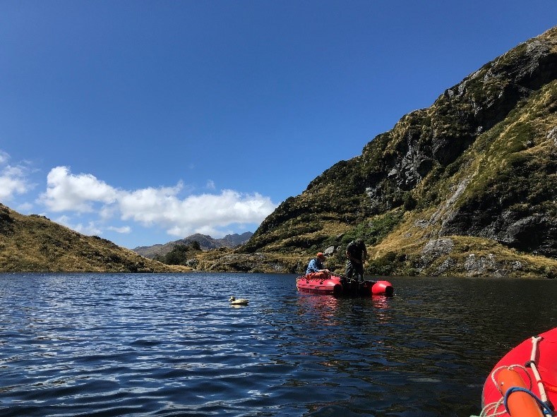
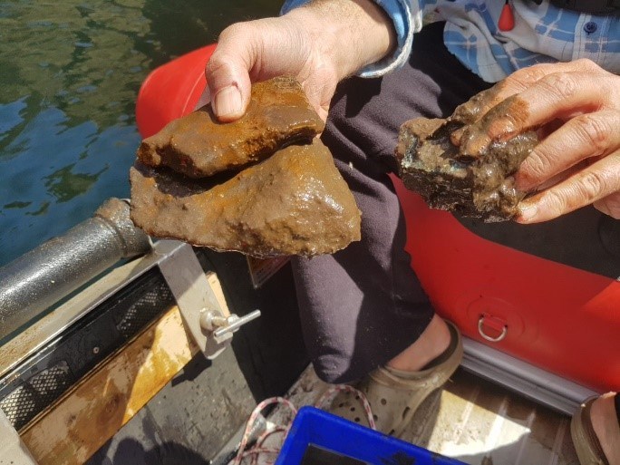
At a dizzying depth of 98 m, Lake Troup was by far our deepest lake across all regions visited so far – the next closest being Lake Lockett (57 m; Nelson/Tasman region) and the Acheron Lakes (54 m) east of Te Anau. This should not have been too surprising, looking at the sheer cliff faces surrounding us. Despite our best efforts to retrieve at least some form of core sample, the best we could get were some chunks of boulder…which just goes to show, sometimes lakes are like a box of chocolates…we never really know what we’re going to get! I have a feeling we will back here one day, next time with some serious coring equipment!
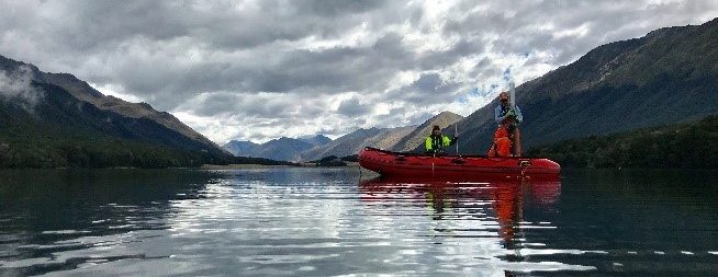
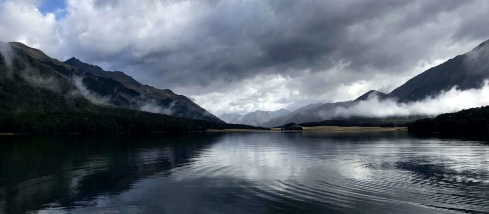
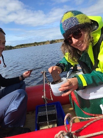
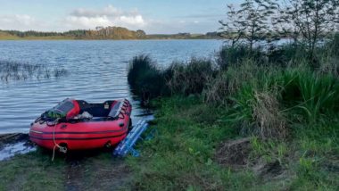
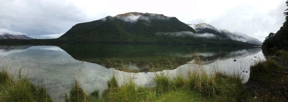
Our last day of sampling in Fiordland threatened to bring wet, cold and miserable sampling conditions as we drove the long gravel roads out to South Mavora Lake. But we were pleasantly relieved of this by the time the boats were ready to launch. A misty and magical place, it is in fact one of many sites of pilgrimage for LOTR fans. No Hobbits, Orcs or Urak-hai were spotted unfortunately, though some of the grunts and contorted faces of core retrieval could have been mistaken for some undesirables of Mordor…
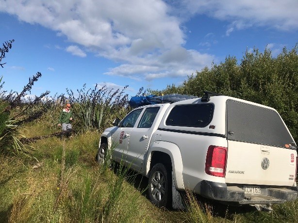
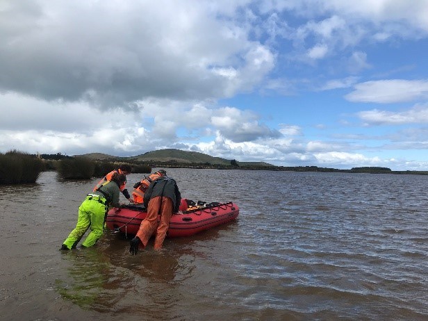
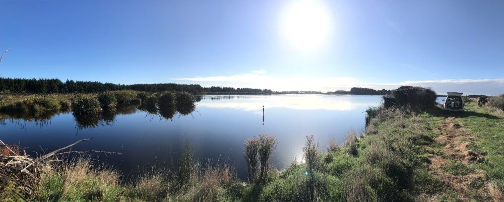
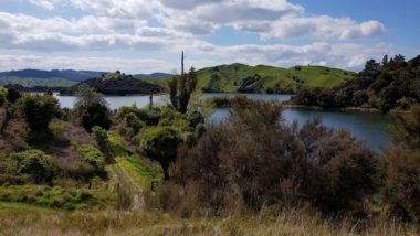
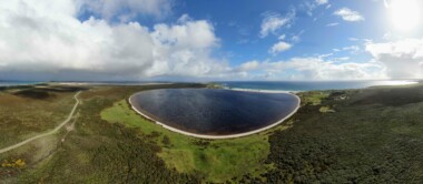
It might seem unfair to give all the attention to the beautiful and dramatic landscapes of the high-country lakes, but I can’t say I wasn’t saddened to leave them behind as we headed further south to the big smoke of Invercargill. It was here I reminded myself that the whole reason I started my journey as a freshwater scientist was to help understand and restore these highly impacted lowland waterbodies. I had to repeat this mantra many times over as we battled the soft, gumboot-swallowing mud of Lake George, a 0.9 m deep coastal lake west of Invercargill, near Colac Bay. Thankfully the other three lakes were more forgiving but similarly shallow. What I can say for the southern plains is, what they lack in picturesque, clear lakes, they make up for in hospitality and cheese rolls – a classic Invercargill delicacy. And who knows, perhaps these sediment cores will reveal some intriguing untold tales when we cast a finer eye over them back in comfort of the lab.
