


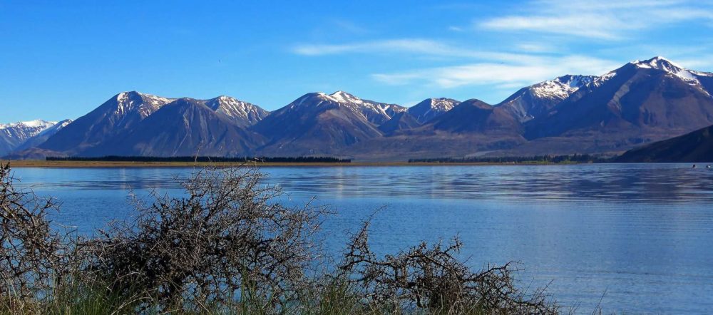
Lake Ōhau
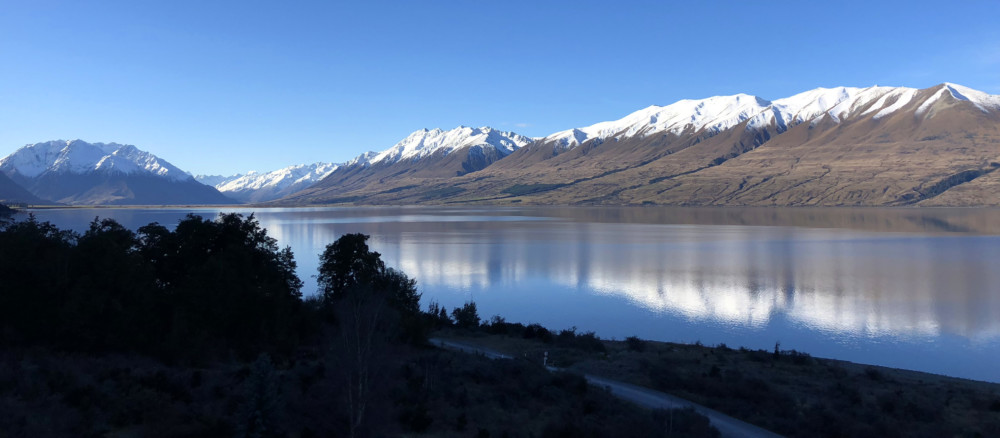
Lake Ōhau is a glacial lake in Te Manahuna (the Mackenzie Basin), fed by Te Awa Aruhe (Hopkins River) and Ōtaao (Dobson River). The lake’s water quality is very good and the ecological condition is excellent (www.lawa.org.nz). The lake is surrounded by tussock land that suffers from grazing by introduced himalayan thar. Lake Ōhau Alpine […]
Lake Pukaki
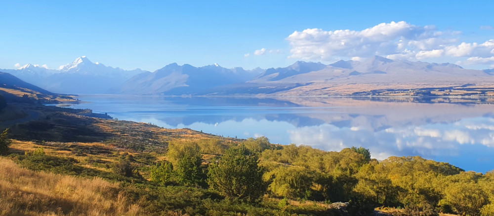
Lake Pukaki is a large glacial fed lake located between Tekapo and Twizel. Aoraki / Mount Cook towers above the northern end of the lake and on a clear day can be seen 70 kilometres away from the southern shore of the lake.Lake Pukaki formed when the terminal moraines of receding glaciers blocked the valley, […]
Takapō / Lake Tekapo
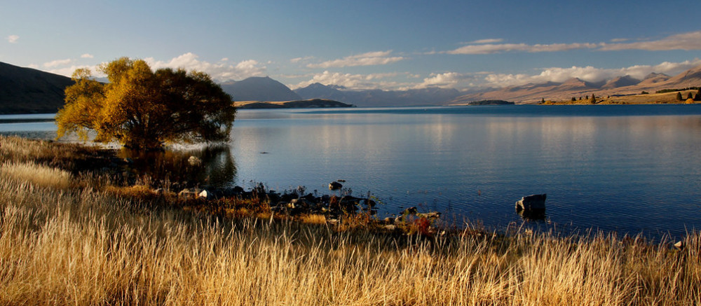
Takapō (Lake Tekapo) is a large glacial fed lake located near the Lake Tekapo township on the north edge of Te Manahuna (Mackenzie Basin). The lake is surrounded by tall peaks and hills with the Godley and Macauley rivers flowing into the northern end of Takapō, from the Southern Alps. Lake Tekapo Regional Park, is […]
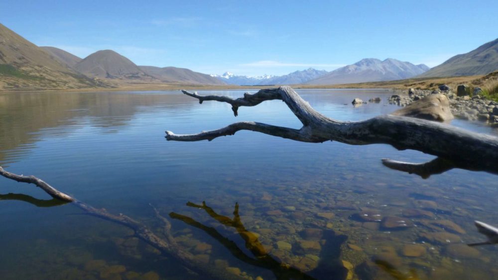
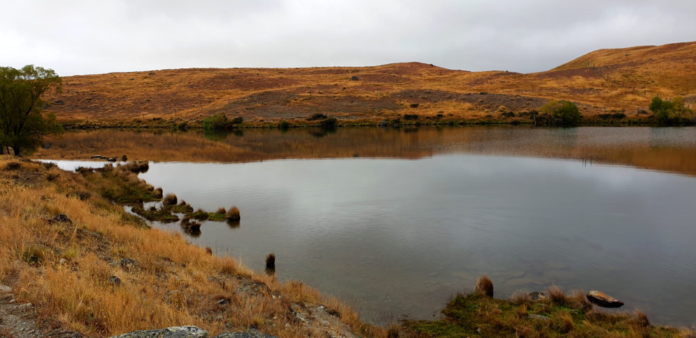
Stoney Tarn
Stoney Tarn is a small highland lake located in the Mackenzie Basin, adjacent to Lake Tekapo. It covers an area of approximately 7 hectares, with a maximum depth of 2.4 m. The lake is surrounded by low productivity grasslands and sits at an altitude of 820 m.
Lake Emma / Kirihonuhonu
Kirihonuhonu (Lake Emma) lies between the upper reaches of the South Asburton and Rangitata rivers’, and has a maximum depth of 3 m. In summer months, the lake has been susceptible to high nutrient levels and algal biomass concentrations. However, nutrient levels and algal productivity have fallen in recent years. The lake is popular for […]
Lake McGregor / Whakarukumoana
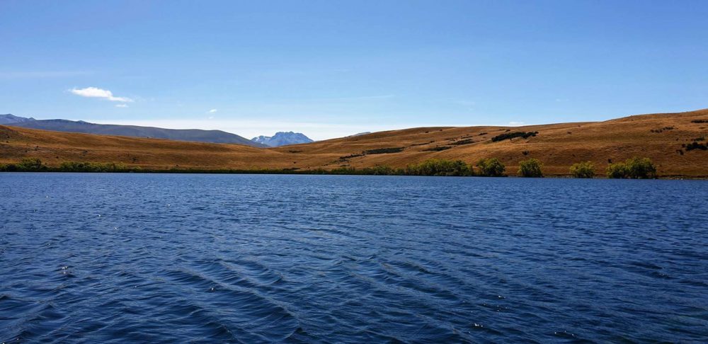
Whakarukumoana (Lake McGregor) lies on the western shore of Lake Tekapo at an altitude of 700 m. The lake covers an area of 37 hectares with a maximum depth of 11.5 m.
Lake Maori A / Ōtūwharekai
Ōtūwharekai (The Maori Lakes) are two highland lakes, lying due south of Lake Heron. They are small in size and shallow, covering an area of approximately 10 hectares, with a maximum depth of just 0.8 m.
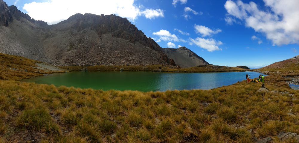
Irishman Stream Tarn
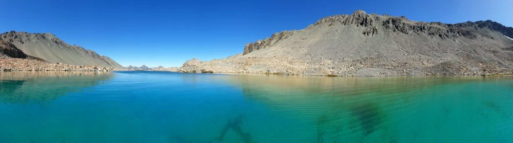
This lake lies among a series of alpine lakes, sitting high atop the ranges west of Lake Pukaki (at an altitude of 1,800 m). The lake is very small in size and relatively deep, covering an area of just 1.2 hectares with a maximum depth of 4 m.
Lake Heron / Ōtūroto
Ōtūroto (Lake Heron) is a large, glacial formed, highland lake in the upper Rakaia River catchment, covering 695 hectares in size and measuring 37 m deep at its deepest point. The lake has low concentrations of nutrients and algae and lists as mesotrophic on the Trophic Level Index measurement scale (source lawa.co.nz).
Hartley Tarn
Hartley Tarn is a small highland lake located in the Mackenzie Basin, adjacent to Lake Tekapo. It covers an area of approximately 6 hectares, with a maximum depth of 6.5 m. The lake is surrounded by low productivity grasslands and sits at an altitude of 570 m.
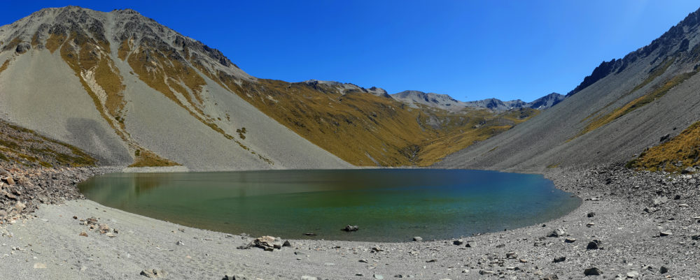
L45434
This small alpine lake sits at an altitude of 1,517 m, in the mountains immediately to the west of Lake Ōhau. The lake drains south to the Ahuriri River via the Ahuriri River East Branch. Little is known about the history and physical, chemical and biological features of this lake system (source www.google.com/maps).
Lake Emily
Lake Emily is a small lake tucked in behind the Clent Hills and Mt Somers Range, in the Upper Ashburton River (South Branch) catchment. The lake is popular for recreation activities such as hiking and fishing. The lake has a maximum depth of 2.3 m and covers an area of 19 hectares. A high amount […]
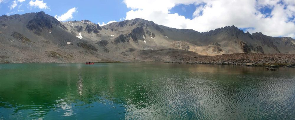
Duncan Stream Tarn 3
This lake lies among a series of alpine lakes, sitting high atop the ranges west of Lake Pukaki (at an altitude of 1340 m). The lake is moderate in size and relatively deep, covering an area of 11.3 hectares with a maximum depth of 29 m.
Duncan Stream Tarn 2
This lake lies among a series of alpine lakes, sitting high atop the ranges west of Lake Pukaki (at an altitude of 1,700 m). The lake is small and relatively shallow covering an area of 1.7 hectares with a maximum depth of 4.6 m.
Duncan Stream Tarn 1
This lake lies among a series of alpine lakes, sitting high atop the ranges west of Lake Pukaki (at an altitude of 1840 m). The lake is small but deep with a maximum depth of 40.5 m while only covering an area of 2.9 hectares.