Lake Hāwea
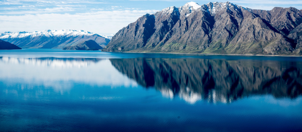
Lake Hāwea stretches 35 kilometres from north to south. It lies in a glacial valley formed during the last ice age, and is fed by the Hunter River. Nearby Lake Wānaka lies in a parallel glacial valley eight kilometres to the west. At their closest point, a rocky ridge called The Neck, the lakes are […]
Te Ana-au / Lake Te Anau
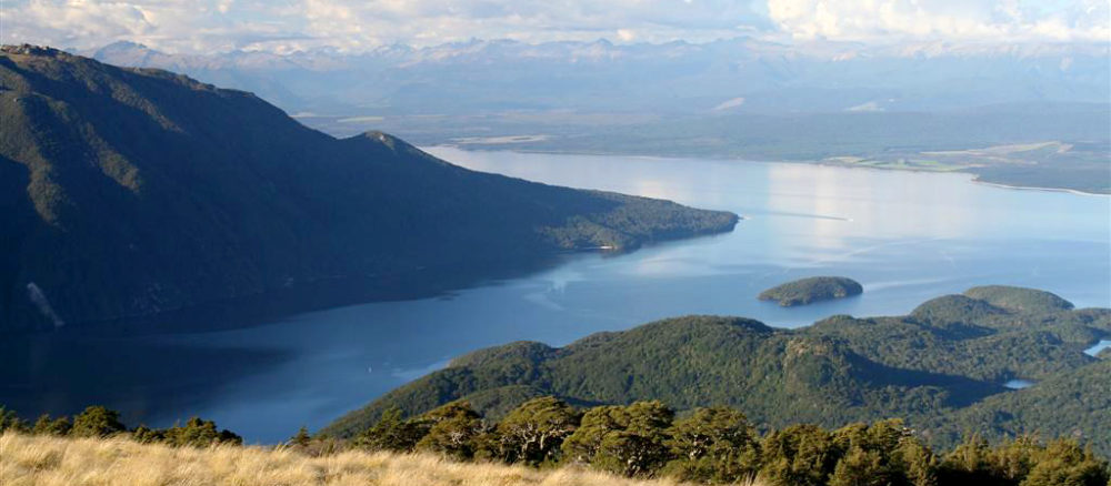
Lake Te Ana-au (Te Anau) lies in the south west of South Island New Zealand (www.kahurumanu.co.nz/atlas). The lake is the largest in the South Island, and second only to Lake Taupō in the North Island. With the surface of the lake at an altitude of 210 m and a depth of over 410m at its […]
Moturau / Lake Manapōuri
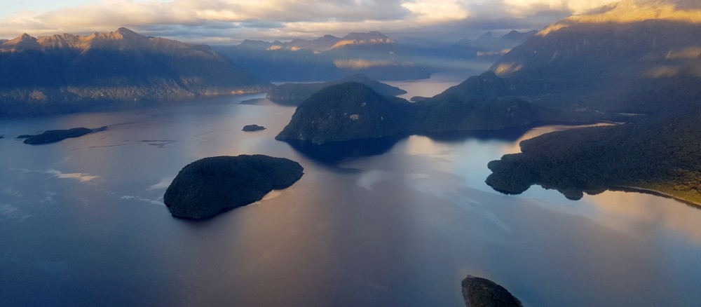
Moturau is the correct Māori name for Lake Manapōuri. Manapōuri is the name for Shallow Bay in the eastern part of the lake. The name Manapōuri has been incorrectly applied to the entire lake (www.kahurumanu.co.nz/atlas).Motuau was formed by deep cutting glaciers during the last Holocene. At 444m deep it is New Zealand’s second deepest lake. […]
Lake Wānaka
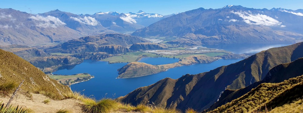
Lake Wānaka, New Zealand’s fourth-largest lake, lies in a u-shaped valley formed by glacial erosion during the last ice age more than 10,000 years ago. It is fed by the Mātukituki and Makarora Rivers and is the source of the Clutha River / Mata-Au, whose outflow is close to Wānaka township on the southern shore. […]
L53683
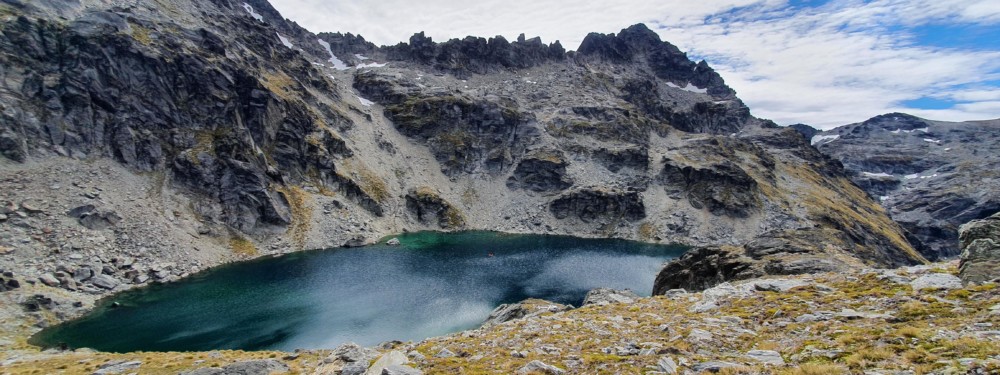
L53683 is an alpine lake situated between the Remarkables and the Hector Montain ranges to the east of Lake Wakatipu. The lake drains to the Kawarau River via Schoolhouse Creek and the Nevis River.
Skeleton Lake
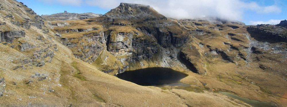
The Skeleton Lakes are a pair of alpine lakes in the Garvie Mountains in the Southland Region of New Zealand. The upper lake (main image above) drains to the lower lake (images below) via a short stream. Samples and cores were taken from the lower Skeleton Lake.
Lake Gow
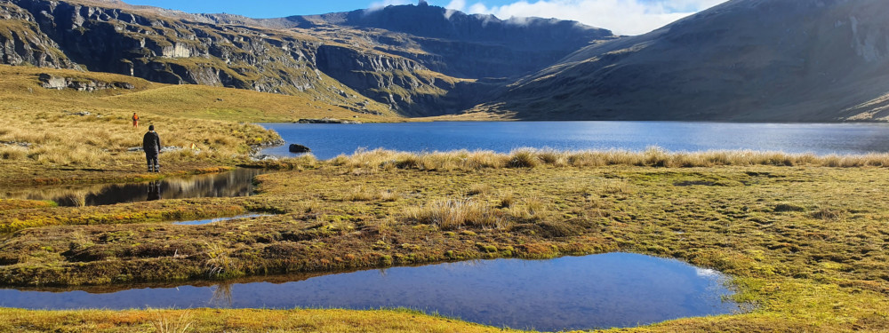
Lake Gow is an alpine lake set within a glacially formed cirque below a predominant rock headwall formation in the Garvie Mountain Range. It is fed by Lake Laura and is home to many endemic alpine flora. The lake has a small island called Mervyn Island.
Blue Lake
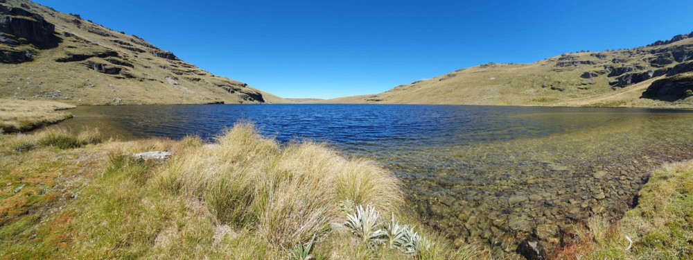
Blue Lake is a remote alpine lake in the Garvie Mountains, in the Southland Region of New Zealand.
Diamond Lake
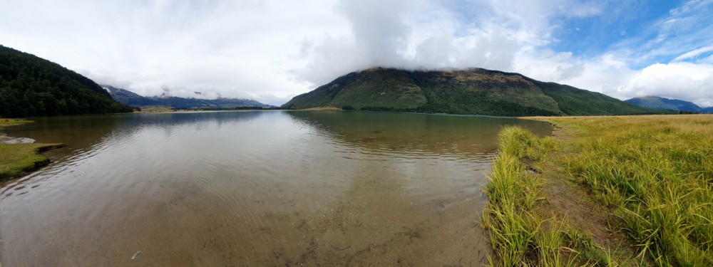
Diamond Lake is nestled under the eastern flanks of Mt Alfred, some 17 miles north of Glenorchy, on the edge of Mt Aspiring National Park. Diamond Lake Wildlife Management Reserve was established in 1981 to recognise the area’s superb wildlife and fisheries values. The lake is a popular camping and fishing spot. The western shore […]
Lake MacKenzie
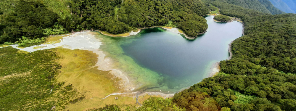
Lake Mackenzie is a sub-alpine lake on the Routeburn Track (one of New Zealand’s Great Walks). The lake is located in Fiordland National Park.
Lake Harris
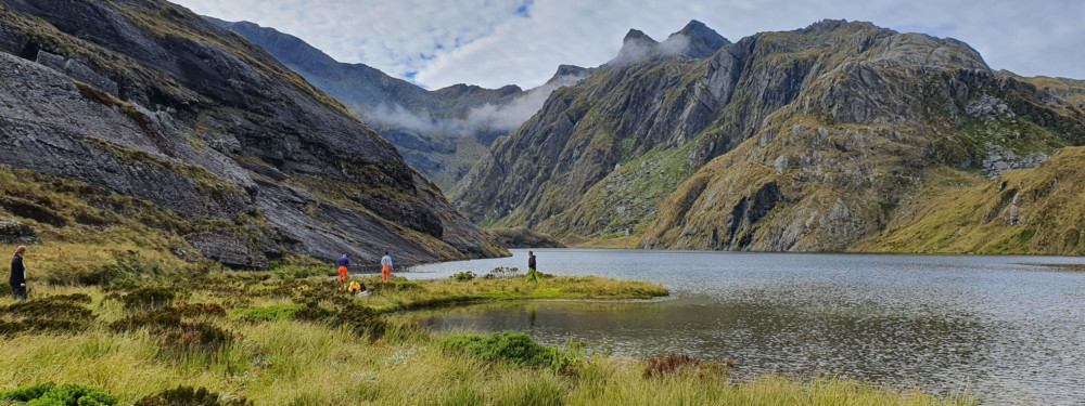
Lake Harris is a small alpine lake near the Harris Saddle on the Routeburn Track (one of New Zealand’s Great Walks) in Mt Aspiring National Park. The lake is feed by lake Wilson to the North, and drains to the Glenorchy end of Lake Wakatipu via the Routeburn River.
Dukes Tarn
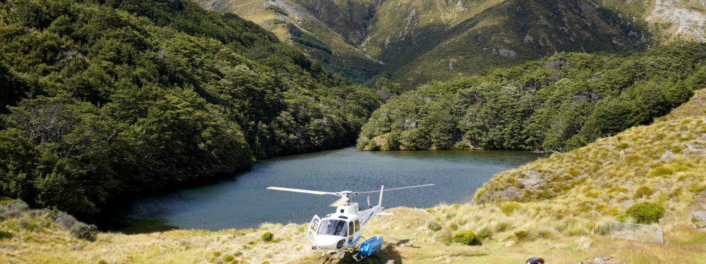
Dukes Tarn is close to Lake Luna in the Richardson Mountains. The small lake is surrounded on two sides by alpine grass, and on the eastern southern end it meets native forest. The lake drains through the forest to Lake Wakatipu via Twenty-five Mile Creek on the Queenstown-Glenorchy Road.
Lake Luna
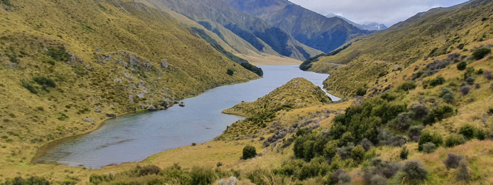
Lake Luna is located in the Richardson ranges in the head waters of the Moonlight Creek catchment. Access is walking only and land holder permission is required. The lake is known for its trout.
Lake Isobel
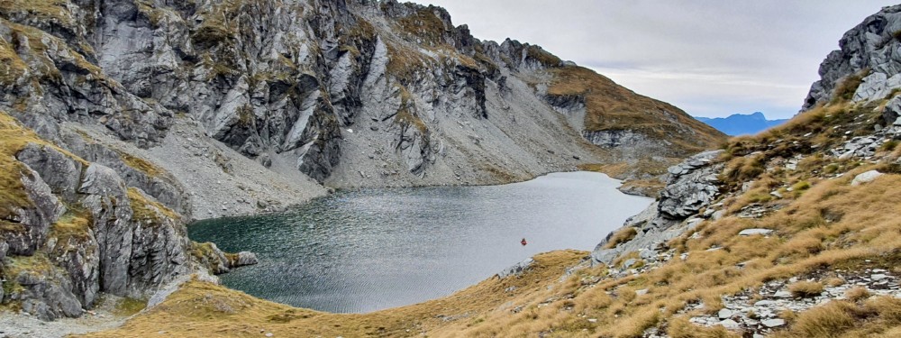
Lake Isobel is an alpine lake nestled in behind Mt Crichton Peak in the Mt Richardson Ranges between Queenstown and Glenorchy. The lake sits at the head of Twelve Mile Creek which drains to Lake Whākatipu.
L50722
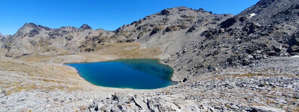
L50722 is an alpine lake situated in The Remarkables mountain range close to Queenstown. The lake drains to the Kawarau River via Doolan’s Creek and the Nevis River.
