Skip to content

Our lakes

  • All Lakes
  • Regions
    • Northland
    • Auckland
    • Waikato
    • Bay of Plenty
    • Hawke’s Bay
    • Taranaki
    • Manawatū/Whanganui
    • Wellington
    • Tasman
    • West Coast
    • Marlborough
    • Canterbury
    • Otago
    • Southland
  • Coastal Lakes
  • Lowland Lakes
  • Highland Lakes
  • Alpine Lakes

Lake Hayes / Waiwhakaata

Depth: 35 metres

Area: 274 hectares

Altitude: 325 metres

Lake ID: 54190

Main vegetation type:
High Productivity Grassland

Queenstown

Otago
44° 58' 48" S
168° 48' 29" E
Highland

Iwi / representative groups:

  • Ngāi Tahu
    • Hokonui Rūnanga
    • Kāti Huirapa ki Puketeraki
    • Te Rūnanga o Awarua
    • Te Rūnanga o Moeraki
    • Te Rūnanga o Ōraka Aparima
    • Te Rūnanga o Ōtākou
    • Waihōpai Rūnanga

Description

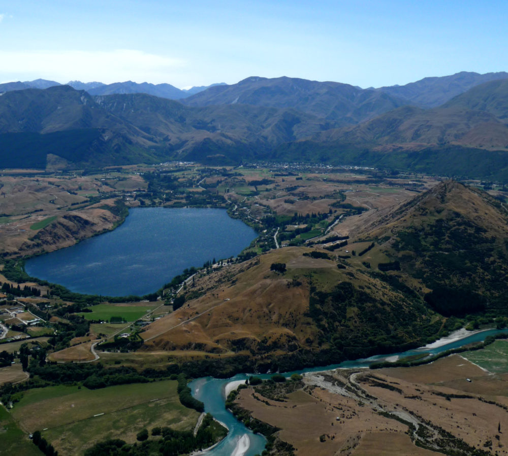
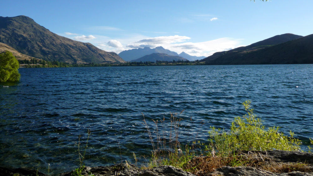
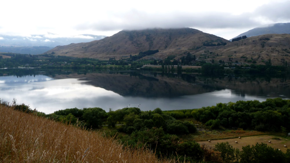
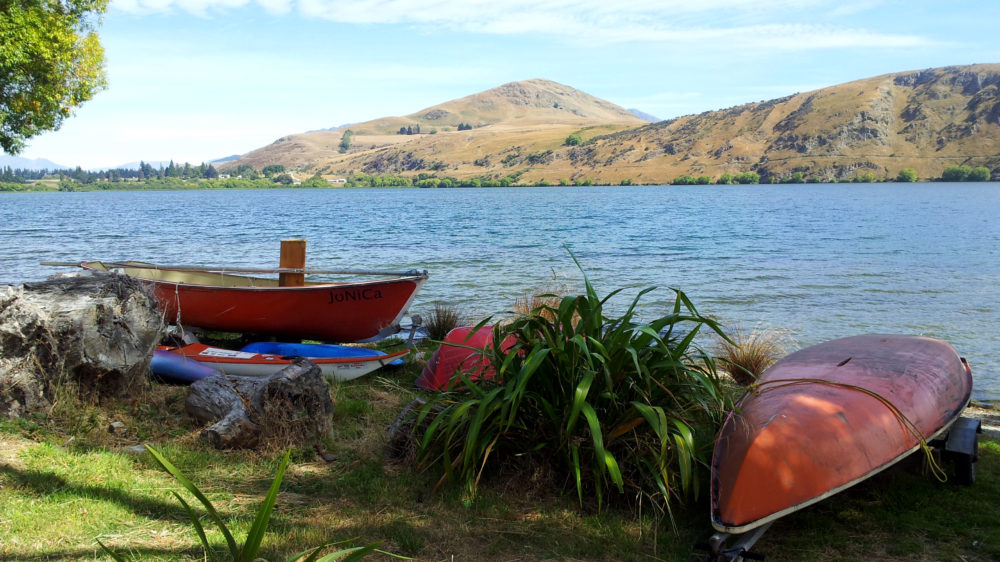
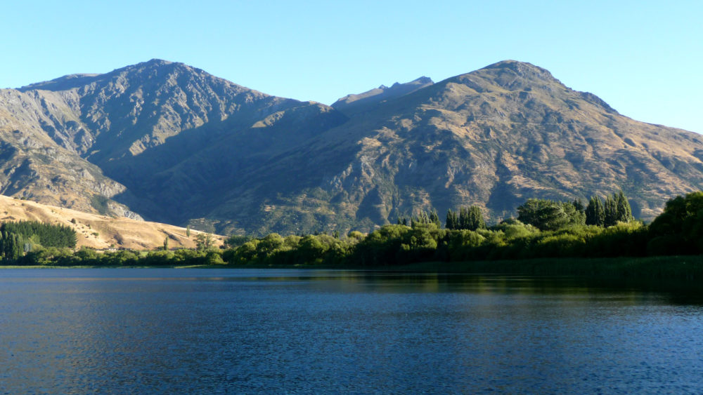
Waiwhakaata (Lake Hayes) is a 280 hectare lake (31 m maximum depth), that has become eutrophic due to elevated nutrient inputs from its catchment. The Lake Hayes catchment has been used for agriculture since late 1800s, but severe degradation was not observed until the late 1960s, when the bottom waters of the lake became anoxic and nutrients previously bound to the lake sediment began to dissolve into the water column (source www.savelakehayes.org.nz/the-lake)

YouTube video

54190

Sediment core

Loading...

Lake Luna

Richardson Mountains

Otago

Waihora / Lake Waihola

Dunedin

Otago

Lake Ianthe

Hokitika

West Coast

L34599 (Round Lake)

Te Awanga

Hawke's Bay

Tennants Lake

Chatham Islands

Canterbury

Lake Morgan

Moana

West Coast

Explore our lakes

See all lakes
Lakes 380 reversed logo
About
  • The Project
  • The Science
    • Field Sampling
    • Laboratory Analysis
    • Student Projects
  • Science Aims
  • Rohe Studies
    • Rangitīkei Iwi Rohe Study
    • Wairarapa Moana iwi rohe study
  • Virtual Experience
  • Social Science
  • Iwi Relationships
  • The Team
    • Advisory Groups
    • Lakes380 Co-lead Institutes​
    • National Collaborators
    • International Collaborators
  • Partners
Our Lakes
  • All Lakes
  • Regions
    • Northland
    • Auckland
    • Waikato
    • Bay of Plenty
    • Hawke’s Bay
    • Taranaki
    • Manawatū/Whanganui
    • Wellington
    • Tasman
    • West Coast
    • Marlborough
    • Canterbury
    • Otago
    • Southland
  • Coastal Lakes
  • Lowland Lakes
  • Highland Lakes
  • Alpine Lakes
Resources
  • Contact & Links
  • Blog, News & Publications
  • Video Gallery
  • Results
  • Glossary
Contact Us

Email us

Twitter Instagram Envelope
Sign up to our newsletter for updates
Our Privacy Policy | Our Copyright Policy

© 2023 Lakes380 Project

Home

Our Lakes

  • All Lakes
  • Regions
    • Northland
    • Auckland
    • Waikato
    • Bay of Plenty
    • Hawke’s Bay
    • Taranaki
    • Manawatū/Whanganui
    • Wellington
    • Tasman
    • West Coast
    • Marlborough
    • Canterbury
    • Otago
    • Southland
  • Coastal Lakes
  • Lowland Lakes
  • Highland Lakes
  • Alpine Lakes

About

  • The Project
  • The Science
    • Field Sampling
    • Laboratory Analysis
    • Student Projects
  • Science Aims
  • Rohe Studies
    • Rangitīkei Iwi Rohe Study
    • Wairarapa Moana iwi rohe study
  • Virtual Experience
  • Social Science
  • Iwi Relationships
  • The Team
    • Advisory Groups
    • Lakes380 Co-lead Institutes​
    • National Collaborators
    • International Collaborators
  • Partners

Resources

  • Contact & Links
  • Blog, News & Publications
  • Video Gallery
  • Results
  • Glossary