Our lakes

  • All Lakes
  • Regions
    • Northland
    • Auckland
    • Waikato
    • Bay of Plenty
    • Hawke’s Bay
    • Taranaki
    • Manawatū/Whanganui
    • Wellington
    • Tasman
    • West Coast
    • Marlborough
    • Canterbury
    • Otago
    • Southland
  • Coastal Lakes
  • Lowland Lakes
  • Highland Lakes
  • Alpine Lakes
Menu
  • All Lakes
  • Regions
    • Northland
    • Auckland
    • Waikato
    • Bay of Plenty
    • Hawke’s Bay
    • Taranaki
    • Manawatū/Whanganui
    • Wellington
    • Tasman
    • West Coast
    • Marlborough
    • Canterbury
    • Otago
    • Southland
  • Coastal Lakes
  • Lowland Lakes
  • Highland Lakes
  • Alpine Lakes

Lake Johnson / Waipuna

Depth: 3 metres

Area: 475 hectares

Altitude: 20 metres

Lake ID: 53707

Main vegetation type:
High Productivity Grassland

Queenstown

Otago
45° 0' 11" S
168° 43' 55" E
Highland

Iwi / representative groups:

  • Ngāi Tahu
    • Hokonui Rūnanga
    • Kāti Huirapa ki Puketeraki
    • Te Rūnanga o Awarua
    • Te Rūnanga o Moeraki
    • Te Rūnanga o Ōraka Aparima
    • Te Rūnanga o Ōtākou
    • Waihōpai Rūnanga

Description

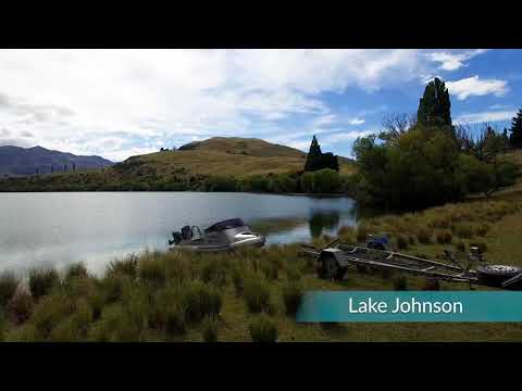
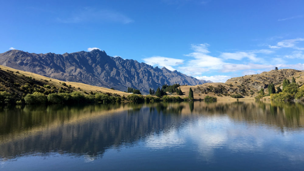
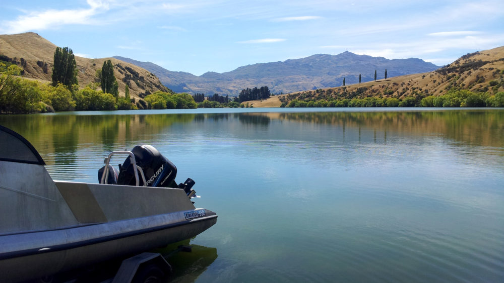
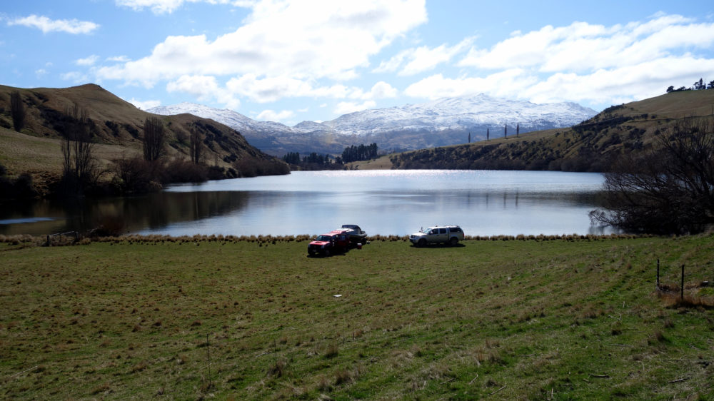
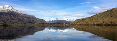
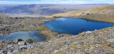
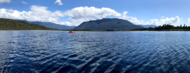
Waipuna (Lake Johnson) is a small relatively shallow lake near Queenstown in the Queenstown-lakes region of Otago. It has a maximum depth of 27 m, a surface area of 0.2 km² and resides in a small catchment (1.9 km²). It is classified as a glacial lake with no natural in-flowing or out-flowing water; the only sources of water are seepage and flow in from several temporary streams and irrigation channels. Lake Johnson has likely undergone progressive eutrophication since catchment development and intensification began. It is currently be classified as eutrophic (source www.lawa.co.nz).

YouTube video

53707
Loading...

Lake Luna

Richardson Mountains

Otago

L52064

Te Anau

Southland

Lake Alexandrina / Takamana

Tekapo

Canterbury

Acheron Lake 2

Te Anau

Southland

Hokakura / Lake Sumner

Sumner Regional Park

Canterbury

Lake Mangakaware

Ngāhinapōuri

Waikato

Explore our lakes

See all lakes
Lakes 380 reversed logo
About
Menu
  • The Project
  • The Science
    • Field Sampling
    • Laboratory Analysis
    • Student Projects
  • Science Aims
  • Rohe Studies
    • Rangitīkei Iwi Rohe Study
    • Wairarapa Moana iwi rohe study
  • Social Science
  • Iwi Relationships
  • The Team
    • Advisory Groups
    • Lakes380 Co-lead Institutes​
    • National Collaborators
    • International Collaborators
  • Partners
Our Lakes
Menu
  • All Lakes
  • Regions
    • Northland
    • Auckland
    • Waikato
    • Bay of Plenty
    • Hawke’s Bay
    • Taranaki
    • Manawatū/Whanganui
    • Wellington
    • Tasman
    • West Coast
    • Marlborough
    • Canterbury
    • Otago
    • Southland
  • Coastal Lakes
  • Lowland Lakes
  • Highland Lakes
  • Alpine Lakes
Resources
Menu
  • Contact & Links
  • Blog, News & Publications
  • Video Gallery
  • Results
  • Glossary
Contact Us

Email us

Twitter Instagram Envelope
Sign up to our newsletter for updates
Our Privacy Policy | Our Copyright Policy

© 2022 Lakes380 Project

Home

Our Lakes

Menu
  • All Lakes
  • Regions
    • Northland
    • Auckland
    • Waikato
    • Bay of Plenty
    • Hawke’s Bay
    • Taranaki
    • Manawatū/Whanganui
    • Wellington
    • Tasman
    • West Coast
    • Marlborough
    • Canterbury
    • Otago
    • Southland
  • Coastal Lakes
  • Lowland Lakes
  • Highland Lakes
  • Alpine Lakes

About

Menu
  • The Project
  • The Science
    • Field Sampling
    • Laboratory Analysis
    • Student Projects
  • Science Aims
  • Rohe Studies
    • Rangitīkei Iwi Rohe Study
    • Wairarapa Moana iwi rohe study
  • Social Science
  • Iwi Relationships
  • The Team
    • Advisory Groups
    • Lakes380 Co-lead Institutes​
    • National Collaborators
    • International Collaborators
  • Partners

Resources

Menu
  • Contact & Links
  • Blog, News & Publications
  • Video Gallery
  • Results
  • Glossary