Our lakes

  • All Lakes
  • Regions
    • Northland
    • Auckland
    • Waikato
    • Bay of Plenty
    • Hawke’s Bay
    • Taranaki
    • Manawatū/Whanganui
    • Wellington
    • Tasman
    • West Coast
    • Marlborough
    • Canterbury
    • Otago
    • Southland
  • Coastal Lakes
  • Lowland Lakes
  • Highland Lakes
  • Alpine Lakes
Menu
  • All Lakes
  • Regions
    • Northland
    • Auckland
    • Waikato
    • Bay of Plenty
    • Hawke’s Bay
    • Taranaki
    • Manawatū/Whanganui
    • Wellington
    • Tasman
    • West Coast
    • Marlborough
    • Canterbury
    • Otago
    • Southland
  • Coastal Lakes
  • Lowland Lakes
  • Highland Lakes
  • Alpine Lakes

Lake Harris

Depth: 65 metres

Area: 22 hectares

Altitude: 1225 metres

Lake ID: 54088

Main vegetation type:
Alpine Grass

Otago
44° 43' 31" S
168° 10' 34" E
Alpine

Iwi / representative groups:

  • Ngāi Tahu
    • Hokonui Rūnanga
    • Kāti Huirapa ki Puketeraki
    • Te Rūnanga o Awarua
    • Te Rūnanga o Moeraki
    • Te Rūnanga o Ōraka Aparima
    • Te Rūnanga o Ōtākou
    • Waihōpai Rūnanga

Description

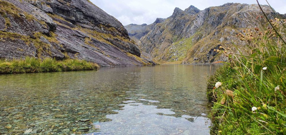
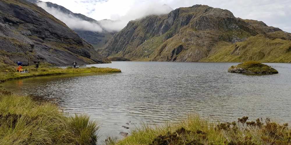
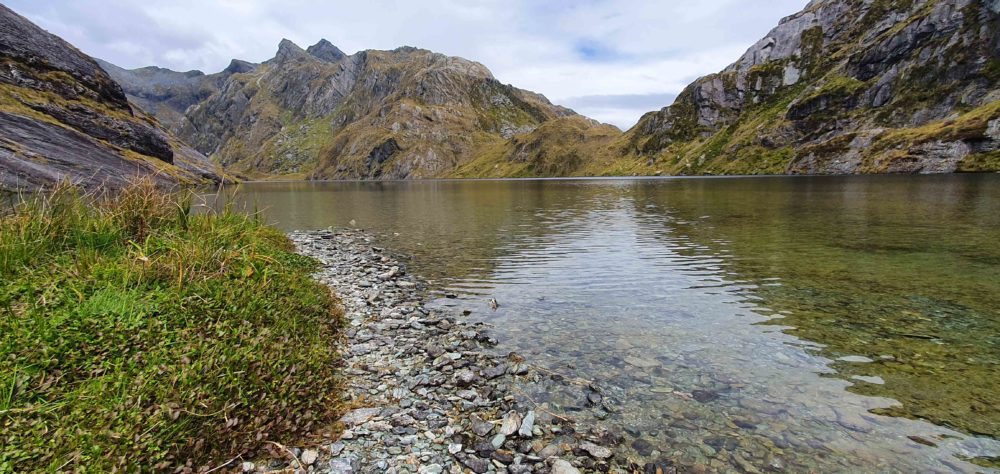
Lake Harris is a small alpine lake near the Harris Saddle on the Routeburn Track (one of New Zealand’s Great Walks) in Mt Aspiring National Park. The lake is feed by lake Wilson to the North, and drains to the Glenorchy end of Lake Wakatipu via the Routeburn River.

54088
Loading...

Lake Rotongaio

Wairoa

Hawke's Bay

Lake Kohangapiripiri

Wellington Harbour Heads

Wellington

Lake Ned

Above Mavora lakes

Southland

Lake Ngāpouri

Rotorua

Waikato

Lake Rototai

Takaka

Tasman

Skifington Swamp

Franz Josef

West Coast

Explore our lakes

See all lakes
Lakes 380 reversed logo
About
Menu
  • The Project
  • The Science
    • Field Sampling
    • Laboratory Analysis
    • Student Projects
  • Science Aims
  • Rohe Studies
    • Rangitīkei Iwi Rohe Study
    • Wairarapa Moana iwi rohe study
  • Social Science
  • Iwi Relationships
  • The Team
    • Advisory Groups
    • Lakes380 Co-lead Institutes​
    • National Collaborators
    • International Collaborators
  • Partners
Our Lakes
Menu
  • All Lakes
  • Regions
    • Northland
    • Auckland
    • Waikato
    • Bay of Plenty
    • Hawke’s Bay
    • Taranaki
    • Manawatū/Whanganui
    • Wellington
    • Tasman
    • West Coast
    • Marlborough
    • Canterbury
    • Otago
    • Southland
  • Coastal Lakes
  • Lowland Lakes
  • Highland Lakes
  • Alpine Lakes
Resources
Menu
  • Contact & Links
  • Blog, News & Publications
  • Video Gallery
  • Results
  • Glossary
Contact Us

Email us

Twitter Instagram Envelope
Sign up to our newsletter for updates
Our Privacy Policy | Our Copyright Policy

© 2022 Lakes380 Project

Home

Our Lakes

Menu
  • All Lakes
  • Regions
    • Northland
    • Auckland
    • Waikato
    • Bay of Plenty
    • Hawke’s Bay
    • Taranaki
    • Manawatū/Whanganui
    • Wellington
    • Tasman
    • West Coast
    • Marlborough
    • Canterbury
    • Otago
    • Southland
  • Coastal Lakes
  • Lowland Lakes
  • Highland Lakes
  • Alpine Lakes

About

Menu
  • The Project
  • The Science
    • Field Sampling
    • Laboratory Analysis
    • Student Projects
  • Science Aims
  • Rohe Studies
    • Rangitīkei Iwi Rohe Study
    • Wairarapa Moana iwi rohe study
  • Social Science
  • Iwi Relationships
  • The Team
    • Advisory Groups
    • Lakes380 Co-lead Institutes​
    • National Collaborators
    • International Collaborators
  • Partners

Resources

Menu
  • Contact & Links
  • Blog, News & Publications
  • Video Gallery
  • Results
  • Glossary