Skip to content

Our lakes

  • All Lakes
  • Regions
    • Northland
    • Auckland
    • Waikato
    • Bay of Plenty
    • Hawke’s Bay
    • Taranaki
    • Manawatū/Whanganui
    • Wellington
    • Tasman
    • West Coast
    • Marlborough
    • Canterbury
    • Otago
    • Southland
  • Coastal Lakes
  • Lowland Lakes
  • Highland Lakes
  • Alpine Lakes

Lake Tutira

Depth: 50 metres

Area: 170 hectares

Altitude: 160 metres

Lake ID: 36981

Main vegetation type:
High Productivity Grassland

North Napier

Hawke's Bay
39° 13' 30" S
176° 53' 53" E
Lowland

Iwi / representative groups:

  • Maungaharuru Tangitū Hapū

    Description

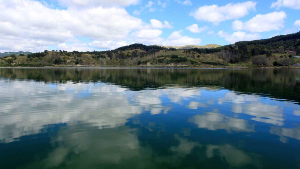
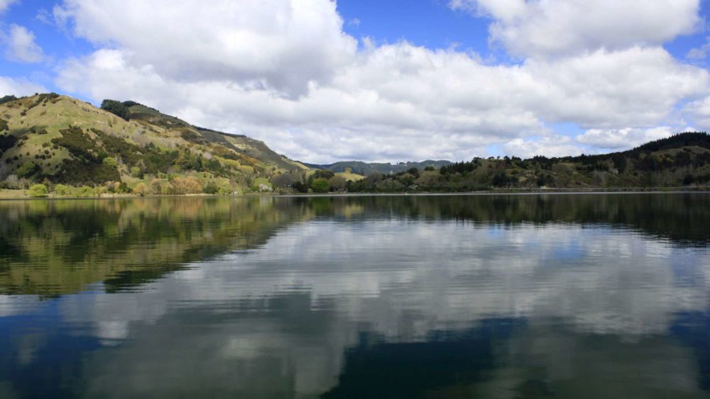
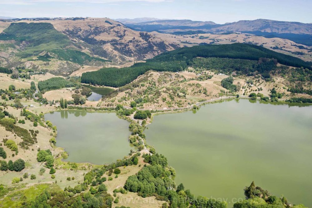
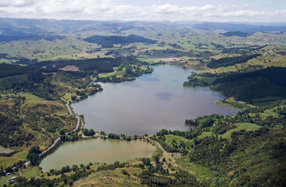
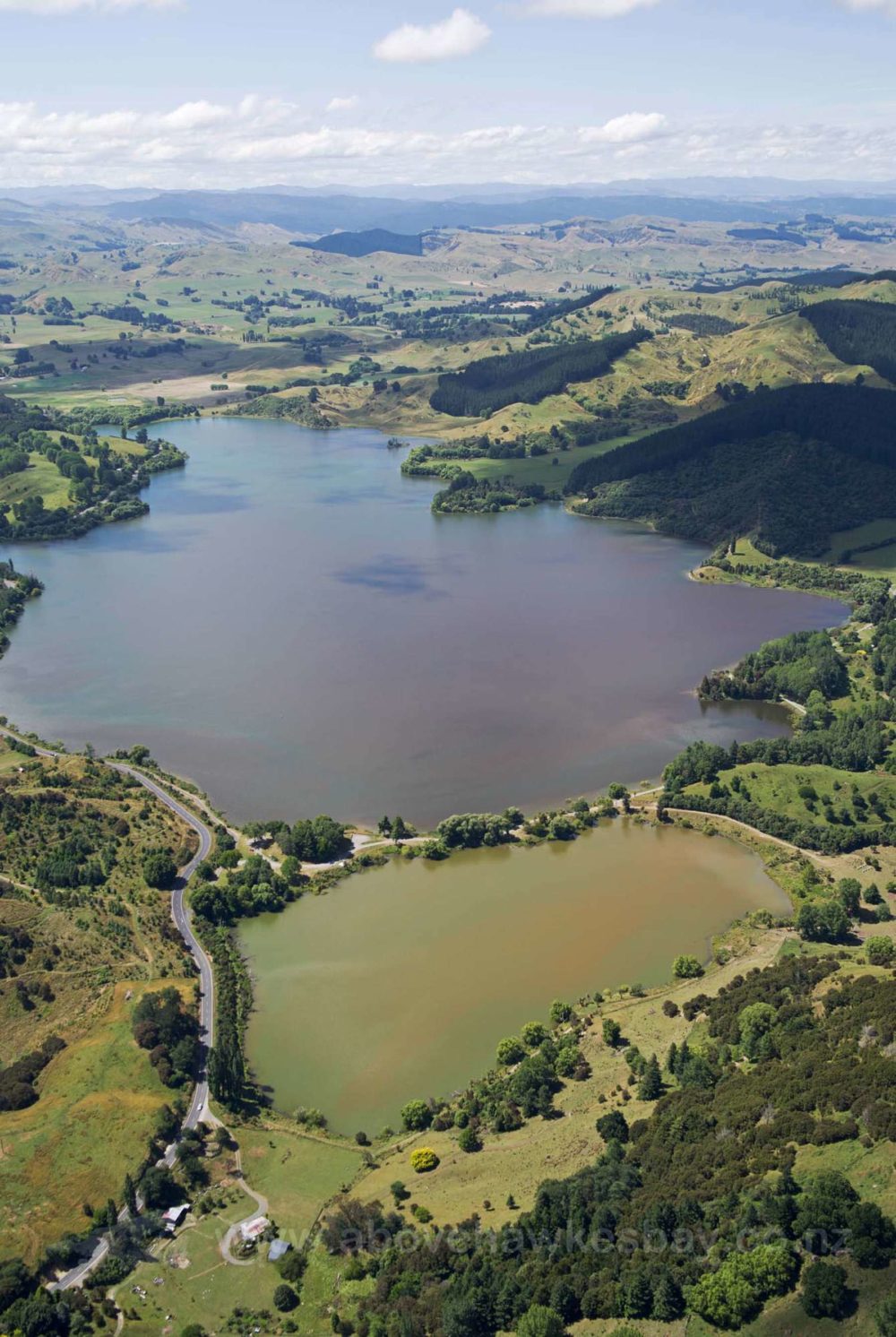
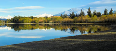
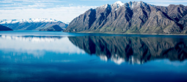
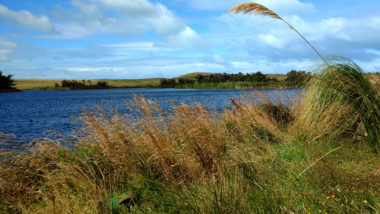
    Lake Tūtira has a maximum depth of 42 m and an average depth of 21 m, has a surface area of 174 hectares and is approximately 155 m above sea level. Water stays in the lake for at least 3 years. Its close proximity to urban areas makes the lake a valued and well-used recreational asset for fishing and water activities. Lake Tutira also has high cultural significance to local Maori. The lake is prone to algal blooms over the warmer summer months (source lawa.co.nz).

    36981
    Loading...

    Lake Lockett

    Kahurangi National Park

    Tasman

    Lake Emily

    Ashburton

    Canterbury

    Waiporohita

    Karikari Peninsula

    Northland

    Lake Tikitapu

    Rotorua

    Bay of Plenty

    Lake Harihari

    Tahāroa

    Waikato

    Lake Waikopiro

    North Napier

    Hawke's Bay

    Explore our lakes

    See all lakes
    Lakes 380 reversed logo
    About
    • The Project
    • The Science
      • Field Sampling
      • Laboratory Analysis
      • Student Projects
    • Science Aims
    • Rohe Studies
      • Rangitīkei Iwi Rohe Study
      • Wairarapa Moana iwi rohe study
    • Virtual Experience
    • Social Science
    • Iwi Relationships
    • The Team
      • Advisory Groups
      • Lakes380 Co-lead Institutes​
      • National Collaborators
      • International Collaborators
    • Partners
    Our Lakes
    • All Lakes
    • Regions
      • Northland
      • Auckland
      • Waikato
      • Bay of Plenty
      • Hawke’s Bay
      • Taranaki
      • Manawatū/Whanganui
      • Wellington
      • Tasman
      • West Coast
      • Marlborough
      • Canterbury
      • Otago
      • Southland
    • Coastal Lakes
    • Lowland Lakes
    • Highland Lakes
    • Alpine Lakes
    Resources
    • Contact & Links
    • Blog, News & Publications
    • Video Gallery
    • Results
    • Glossary
    Contact Us

    Email us

    Twitter Instagram Envelope
    Sign up to our newsletter for updates
    Our Privacy Policy | Our Copyright Policy

    © 2023 Lakes380 Project

    Home

    Our Lakes

    • All Lakes
    • Regions
      • Northland
      • Auckland
      • Waikato
      • Bay of Plenty
      • Hawke’s Bay
      • Taranaki
      • Manawatū/Whanganui
      • Wellington
      • Tasman
      • West Coast
      • Marlborough
      • Canterbury
      • Otago
      • Southland
    • Coastal Lakes
    • Lowland Lakes
    • Highland Lakes
    • Alpine Lakes

    About

    • The Project
    • The Science
      • Field Sampling
      • Laboratory Analysis
      • Student Projects
    • Science Aims
    • Rohe Studies
      • Rangitīkei Iwi Rohe Study
      • Wairarapa Moana iwi rohe study
    • Virtual Experience
    • Social Science
    • Iwi Relationships
    • The Team
      • Advisory Groups
      • Lakes380 Co-lead Institutes​
      • National Collaborators
      • International Collaborators
    • Partners

    Resources

    • Contact & Links
    • Blog, News & Publications
    • Video Gallery
    • Results
    • Glossary