Skip to content

Our lakes

  • All Lakes
  • Regions
    • Northland
    • Auckland
    • Waikato
    • Bay of Plenty
    • Hawke’s Bay
    • Taranaki
    • Manawatū/Whanganui
    • Wellington
    • Tasman
    • West Coast
    • Marlborough
    • Canterbury
    • Otago
    • Southland
  • Coastal Lakes
  • Lowland Lakes
  • Highland Lakes
  • Alpine Lakes

Lake Wānaka

Depth: 311 metres

Area: 20400 hectares

Altitude: 234 metres

Lake ID: 54672

Main vegetation type:
Low Productivity Grassland & Native Tussock

Wānaka

Otago
44° 37' 46" S
169° 4' 12" E
Highland

Iwi / representative groups:

  • Ngāi Tahu
    • Hokonui Rūnanga
    • Kāti Huirapa ki Puketeraki
    • Te Rūnanga o Awarua
    • Te Rūnanga o Moeraki
    • Te Rūnanga o Ōraka Aparima
    • Te Rūnanga o Ōtākou
    • Waihōpai Rūnanga

Description

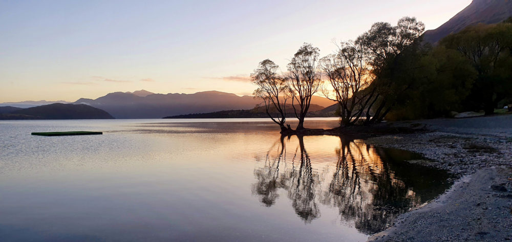
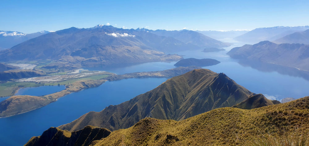
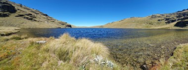
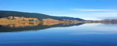
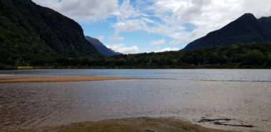
Lake Wānaka, New Zealand’s fourth-largest lake, lies in a u-shaped valley formed by glacial erosion during the last ice age more than 10,000 years ago. It is fed by the Mātukituki and Makarora Rivers and is the source of the Clutha River / Mata-Au, whose outflow is close to Wānaka township on the southern shore. The Southern Alps lie to the west and northern sides of the lake (https://en.wikipedia.org/).
The water quality in the lake is very good and the ecological condition is excellent (www.lawa.org.nz)
Four small islands within the lake include Ruby Island, Stevensons Island, Mou Tapu and Mou Waho (Harwich) Island. Some host ecological sanctuaries, such as buff weka on Stevensons Island. Mou Tapu island is 120 hectares in size and is a pest free island. Mountain stone weta and the Southern Alps gecko can be found here (https://en.wikipedia.org/).
The first known map of Lake Wānaka was drawn in 1844 by the southern Ngāi Tahu leader Te Huruhuru. Numerous kāinga mahinga kai (food-gathering places) and kāinga nohoanga (settlements) were located around the lake. Foods gathered at Wānaka included tuna (eels), aruhe (bracken fernroot), weka, pora (‘Māori turnip’), mahetau, kāuru (cabbage tree root), harakeke (flax), and kākāpō (www.kahurumanu.co.nz/atlas).
For Māori, Wānaka was a natural crossroads. The Haast Pass led to the West Coast and its pounamu; the Cardrona Valley led to the natural rock bridge “Whatatorere” which was the only place that the Kawarau River and Clutha River / Mata-Au could be crossed without boats. Reed boats enabled a swift return downriver to the east coast (https://en.wikipedia.org/).

54672
Loading...

Lake Taylor

Sumner Regional Park

Canterbury

Lake Rototuna

Pouto Peninsula

Northland

Lake Rotoeka

Chatham Islands

Canterbury

Lake Ida

Arthurs Pass

Canterbury

Long White Lagoon

Invercargill

Southland

Jane Lake

Fiordland National Park

Southland

Explore our lakes

See all lakes
Lakes 380 reversed logo
About
  • The Project
  • The Science
    • Field Sampling
    • Laboratory Analysis
    • Student Projects
  • Science Aims
  • Rohe Studies
    • Rangitīkei Iwi Rohe Study
    • Wairarapa Moana iwi rohe study
  • Virtual Experience
  • Social Science
  • Iwi Relationships
  • The Team
    • Advisory Groups
    • Lakes380 Co-lead Institutes​
    • National Collaborators
    • International Collaborators
  • Partners
Our Lakes
  • All Lakes
  • Regions
    • Northland
    • Auckland
    • Waikato
    • Bay of Plenty
    • Hawke’s Bay
    • Taranaki
    • Manawatū/Whanganui
    • Wellington
    • Tasman
    • West Coast
    • Marlborough
    • Canterbury
    • Otago
    • Southland
  • Coastal Lakes
  • Lowland Lakes
  • Highland Lakes
  • Alpine Lakes
Resources
  • Contact & Links
  • Blog, News & Publications
  • Video Gallery
  • Results
  • Glossary
Contact Us

Email us

Twitter Instagram Envelope
Sign up to our newsletter for updates
Our Privacy Policy | Our Copyright Policy

© 2023 Lakes380 Project

Home

Our Lakes

  • All Lakes
  • Regions
    • Northland
    • Auckland
    • Waikato
    • Bay of Plenty
    • Hawke’s Bay
    • Taranaki
    • Manawatū/Whanganui
    • Wellington
    • Tasman
    • West Coast
    • Marlborough
    • Canterbury
    • Otago
    • Southland
  • Coastal Lakes
  • Lowland Lakes
  • Highland Lakes
  • Alpine Lakes

About

  • The Project
  • The Science
    • Field Sampling
    • Laboratory Analysis
    • Student Projects
  • Science Aims
  • Rohe Studies
    • Rangitīkei Iwi Rohe Study
    • Wairarapa Moana iwi rohe study
  • Virtual Experience
  • Social Science
  • Iwi Relationships
  • The Team
    • Advisory Groups
    • Lakes380 Co-lead Institutes​
    • National Collaborators
    • International Collaborators
  • Partners

Resources

  • Contact & Links
  • Blog, News & Publications
  • Video Gallery
  • Results
  • Glossary