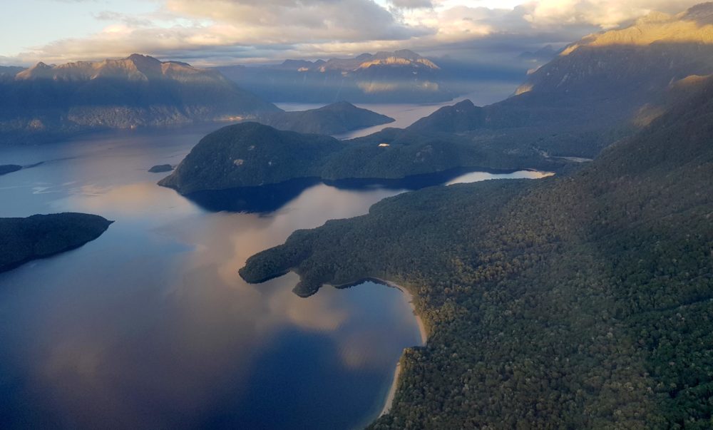
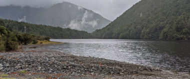
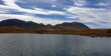
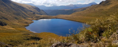
Moturau is the correct Māori name for Lake Manapōuri. Manapōuri is the name for Shallow Bay in the eastern part of the lake. The name Manapōuri has been incorrectly applied to the entire lake (www.kahurumanu.co.nz/atlas).
Motuau was formed by deep cutting glaciers during the last Holocene. At 444m deep it is New Zealand’s second deepest lake. As the surface of the lake is 143 metres above sea level, much of the depth of the lake is below sea level. The lake has four arms, and 33 islands. The small settlement of Manapōuri lies on the eastern shore.
The Waiau River feeds the lake flowing into the northeast from Lake Te Anau, 20 kilometres to the north. The Waiau River is also the outlet flowing out from the lake’s south-eastern end. The outlet has been diverted to the Manapōuri Hydroelectric Power Station, then the flow is diverted westward to the sea at Deep Cove. This is a naturally very high rainfall area. Water levels in the lake are predominantly high during spring due to snow melt and low in winter (https://en.wikipedia.org).
