Our lakes

  • All Lakes
  • Regions
    • Northland
    • Auckland
    • Waikato
    • Bay of Plenty
    • Hawke’s Bay
    • Taranaki
    • Manawatū/Whanganui
    • Wellington
    • Tasman
    • West Coast
    • Marlborough
    • Canterbury
    • Otago
    • Southland
  • Coastal Lakes
  • Lowland Lakes
  • Highland Lakes
  • Alpine Lakes
Menu
  • All Lakes
  • Regions
    • Northland
    • Auckland
    • Waikato
    • Bay of Plenty
    • Hawke’s Bay
    • Taranaki
    • Manawatū/Whanganui
    • Wellington
    • Tasman
    • West Coast
    • Marlborough
    • Canterbury
    • Otago
    • Southland
  • Coastal Lakes
  • Lowland Lakes
  • Highland Lakes
  • Alpine Lakes

Lake Kaniere

Depth: 200 metres

Area: 1473.8 hectares

Altitude: 108 metres

Lake ID: 38502

Main vegetation type:
Indigenous Forest

Moana

West Coast
42° 50' 33" S
171° 8' 51" E
Lowland

Iwi / representative groups:

  • Ngāi Tahu
    • Te Rūnanga o Makaawhio
    • Te Rūnanga o Ngāti Waewae

Description

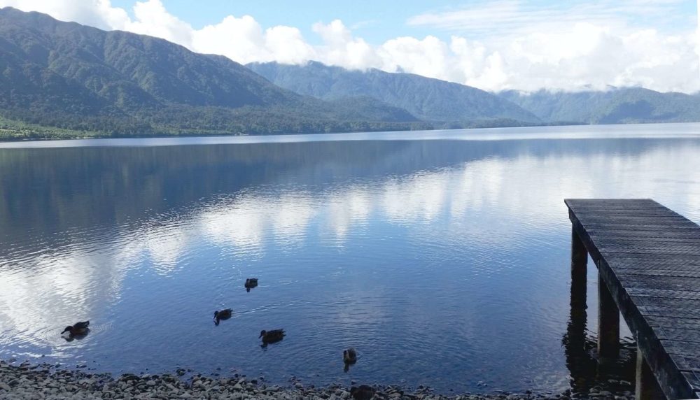
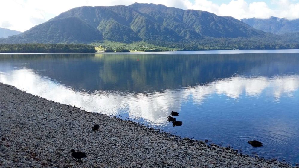
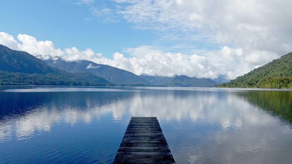
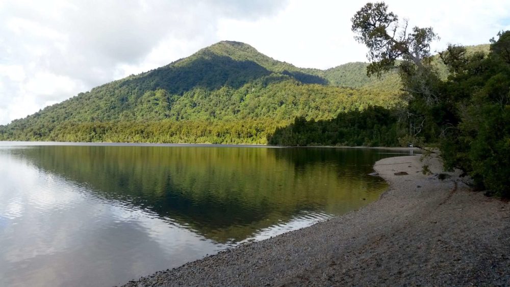
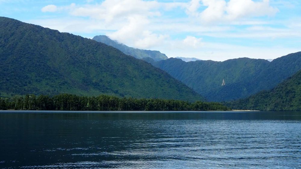
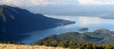
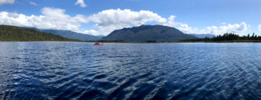
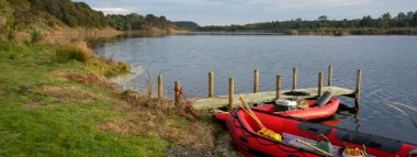
Lake Kaniere is located on the West Coast of New Zealand’s South Island. It lies 30 kilometres southeast of Hokitika, and drains into the Tasman Sea via the Kaniere and Hokitika rivers. At 22 km² it is second only to Lake Brunner in size among the West Coast’s lakes. A small hydroelectric station is located on the Kaniere River, close to the lake’s outflow. Lake Kaniere is a popular location for leisure activities such as boating, fishing, picnicking, and water skiing.

38502

Lake Waahi

Huntly

Waikato

Lake Marion

Sumner Regional Park

Canterbury

Long White Lagoon

Invercargill

Southland

Lake Rotopokaka

Karikari Pennisular

Northland

Lake Selfe

Arthurs Pass

Canterbury

Lake Norma

Fiordland National Park

Southland

Explore our lakes

See all lakes
Lakes 380 reversed logo
About
Menu
  • The Project
  • The Science
    • Field Sampling
    • Laboratory Analysis
    • Student Projects
  • Science Aims
  • Rohe Studies
    • Rangitīkei Iwi Rohe Study
    • Wairarapa Moana iwi rohe study
  • Social Science
  • Iwi Relationships
  • The Team
    • Advisory Groups
    • Lakes380 Co-lead Institutes​
    • National Collaborators
    • International Collaborators
  • Partners
Our Lakes
Menu
  • All Lakes
  • Regions
    • Northland
    • Auckland
    • Waikato
    • Bay of Plenty
    • Hawke’s Bay
    • Taranaki
    • Manawatū/Whanganui
    • Wellington
    • Tasman
    • West Coast
    • Marlborough
    • Canterbury
    • Otago
    • Southland
  • Coastal Lakes
  • Lowland Lakes
  • Highland Lakes
  • Alpine Lakes
Resources
Menu
  • Contact & Links
  • Blog, News & Publications
  • Video Gallery
  • Results
  • Glossary
Contact Us

Email us

Twitter
Instagram
Envelope
Sign up to our newsletter for updates
Our Privacy Policy | Our Copyright Policy

© 2021 Lakes380 Project

Home

Our Lakes

Menu
  • All Lakes
  • Regions
    • Northland
    • Auckland
    • Waikato
    • Bay of Plenty
    • Hawke’s Bay
    • Taranaki
    • Manawatū/Whanganui
    • Wellington
    • Tasman
    • West Coast
    • Marlborough
    • Canterbury
    • Otago
    • Southland
  • Coastal Lakes
  • Lowland Lakes
  • Highland Lakes
  • Alpine Lakes

About

Menu
  • The Project
  • The Science
    • Field Sampling
    • Laboratory Analysis
    • Student Projects
  • Science Aims
  • Rohe Studies
    • Rangitīkei Iwi Rohe Study
    • Wairarapa Moana iwi rohe study
  • Social Science
  • Iwi Relationships
  • The Team
    • Advisory Groups
    • Lakes380 Co-lead Institutes​
    • National Collaborators
    • International Collaborators
  • Partners

Resources

Menu
  • Contact & Links
  • Blog, News & Publications
  • Video Gallery
  • Results
  • Glossary